New Jersey’s 2026 property assessment files are live. Here is what that record really tells you
The state has published its 2026 MOD-IV property assessment files. For homeowners, that means a fresh official snapshot of assessed value, land, improvements, property class and prior-year tax data, but it is not the same thing as a current tax bill.
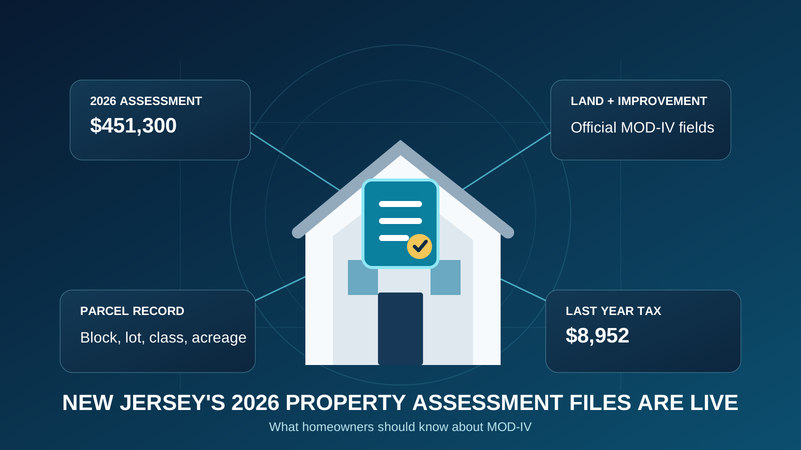
New Jersey has published its 2026 Property Assessment List, better known as MOD-IV. That matters because MOD-IV is one of the core official records behind the property information homeowners, tax professionals, assessors and real estate professionals use across the state.
For most people, though, the raw state files are not especially friendly. They are organized for government and professional use, not for someone who simply wants to know what changed at one address.
That is exactly where Watchdog becomes useful. One address can turn a large state record into a property-level view you can actually read and compare.
What is MOD-IV?
MOD-IV is New Jersey’s standardized property assessment record. The Division of Taxation publishes the files by tax year, and its current statistical-data page now lists 2026 Property Assessment files alongside prior years.
The state’s parcel service shows the kind of information tied to that record, including municipality, block and lot, property class, land value, improvement value, total assessed value, prior-year tax, building description, acreage, deed information, construction year and sale price.
In plain English, MOD-IV is one of the best starting points for answering a basic question: What does the local assessment system currently say about this property?
Your assessed value is not automatically your market value
This is where homeowners get tripped up.
If the 2026 file says your total assessment is $300,000, that does not automatically mean the state or your town thinks your home would sell for $300,000 today.
Many New Jersey municipalities assess below current market value. To understand the relationship between assessment and market value, you also need the municipality’s equalization ratio and the state’s Chapter 123 framework.
That is why Watchdog does not stop at showing the assessment. The useful question is how that assessment compares with the town’s current ratio, verified sales and the property’s broader local context.
The 2026 assessment file is not your 2026 tax bill
The state’s public parcel layer includes a field called LAST_YR_TX. That wording matters. It is prior-year tax information, not a promise of what the current-year bill will be.
New Jersey’s Department of Community Affairs currently shows the 2026 property-tax table fields without the final statewide tax tables posted yet, while 2025 and earlier tables are available. So a fresh 2026 assessment record can exist before all of the statewide 2026 tax-rate and tax-table reporting is complete.
Your actual bill depends on the adopted local tax rate and the taxable assessment used by the municipality. A new assessment record and a current bill are related, but they are not the same document.
What homeowners should compare right now
If you own a New Jersey home, the 2026 MOD-IV release gives you a good reason to check your property again.
- Total assessed value: Did it change from the prior year?
- Land and improvement values: Which part of the assessment moved?
- Property class: Is the classification what you expect?
- Building and land descriptions: Do the public-record basics still make sense?
- Sale and deed information: Is the latest recorded transaction reflected correctly?
- Prior-year tax: Use it as historical context, not as the current bill.
A changed number is not automatically a problem. But it is a signal worth understanding.
Why one address is better than digging through five government systems
The state makes a remarkable amount of property information public. The problem is that the pieces live in different places.
The Division of Taxation publishes MOD-IV files, equalization ratios, tax rates, appeal data and reference materials. The Office of GIS publishes statewide parcels joined with MOD-IV. Municipal and county systems add their own local records.
Watchdog’s job is to organize those official records around a property so you do not have to know which state download, GIS layer, spreadsheet or municipal page contains the next piece of the answer.
That matters for a homeowner checking an assessment, but it also matters for a real estate office, law firm, lender, appraiser, investor or other organization reviewing many properties.
One important privacy note
The New Jersey Office of GIS says owner names are redacted from its hosted parcel and tax-list downloads and map services in response to Daniel’s Law protections. So a blank owner field in a public data source does not necessarily mean the underlying property record is incomplete.
It can mean the public version has been intentionally redacted.
The Watchdog takeaway
The 2026 MOD-IV files give New Jersey homeowners a newer official assessment snapshot. They are useful, but they are only one layer of the property story.
The best way to read the new record is alongside your town’s equalization ratio, prior assessment history, verified sales, parcel information and current local tax context.
That is the advantage of Watchdog: type one New Jersey address and bring the pieces together before you decide whether a number is normal, outdated or worth a closer look.
Look up a New Jersey property in Watchdog.
Sources: NJ Division of Taxation, Statistical Information; NJ Office of GIS, Parcel_MOD4 layer and field definitions; NJ Geographic Information Network, Parcels; NJ Department of Community Affairs, Property Tax Information; NJ Division of Taxation, Local Property Tax Reference Materials.
Frequently asked questions
What is New Jersey MOD-IV?
MOD-IV is New Jersey’s standardized property assessment record. The Division of Taxation publishes annual Property Assessment List files containing assessment and property-record information used across the state.
Does the 2026 MOD-IV assessment equal my home’s market value?
Not necessarily. Many New Jersey municipalities assess below current market value. The local equalization ratio and verified sales help explain the relationship between assessed value and market value.
Is the tax amount in the MOD-IV record my current 2026 tax bill?
No. The statewide parcel layer identifies the tax field as LAST_YR_TX, meaning prior-year tax. Current bills depend on the municipality’s adopted tax rate and taxable assessment.
Why might the owner name be blank in New Jersey parcel data?
The NJ Office of GIS says owner names are redacted from hosted parcel and tax-list downloads and map services in response to Daniel’s Law privacy protections.
Assessment, tax and property context for any New Jersey address.
Open Watchdog